
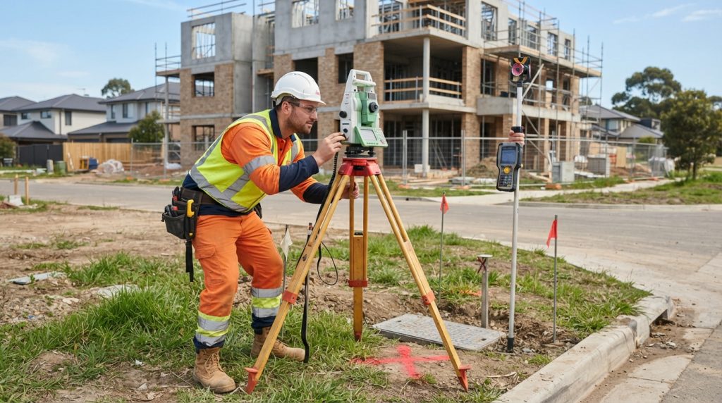
Precise feature surveys depend on more than a capable instrument: they combine suitable measurement methods, sound control, careful field procedures and rigorous checks. A Total station may excel where line of sight and fine detail matter, while GNSS surveying can cover open ground efficiently; scanning and photogrammetry capture complex surfaces at a much denser scale.
The right choice depends on what must be recorded, the site conditions and the accuracy the work needs to support. Understanding how these tools complement one another helps survey teams produce dependable data, detect uncertainty early and deliver features that can be confidently used in design, construction or asset management.
Survey instruments for accurate feature capture
Instrument selection begins with the features to be measured and the environment in which they sit. A narrow street, a wooded boundary and an open construction site each place different demands on visibility, coverage and positional accuracy.
Total station measurements for defined features
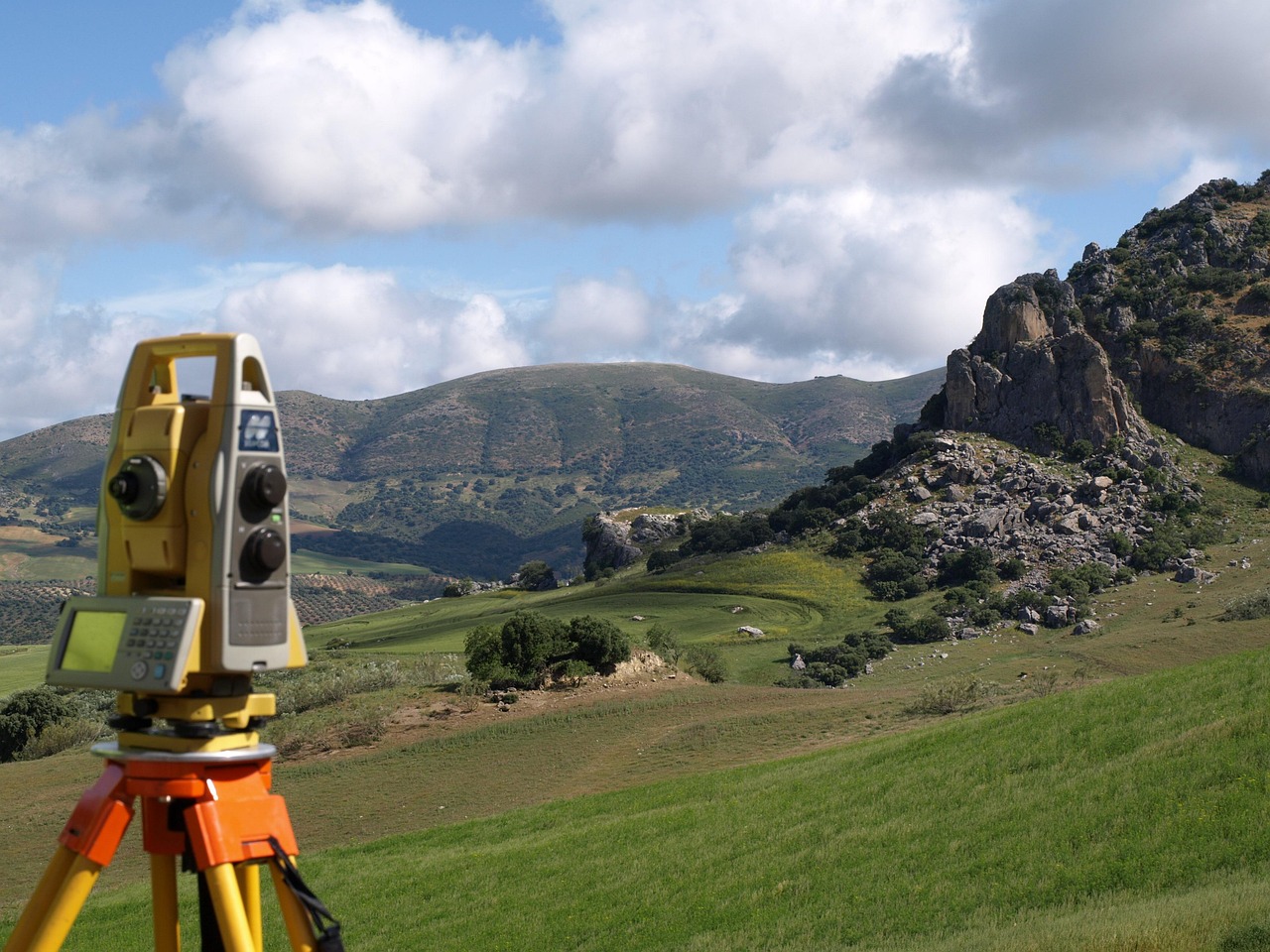
A Total station measures angles and distances to determine the position of points relative to a known setup. It is particularly useful for corners, kerbs, building details and other well-defined features, especially where satellite signals are blocked or obstructed.
Its precision depends on stable instrument setup, reliable backsight orientation and clear sight lines to the target. Consistent prism placement and careful recording also matter: small errors in setup or identification can affect every point observed from that position.
GNSS surveying across open areas
GNSS surveying can efficiently locate features across broad, unobstructed sites. With RTK positioning, a receiver uses corrections from a reference source to determine coordinates in real time, making the method useful for mapping dispersed assets and establishing survey control.
Buildings, tree canopies and reflective surfaces can weaken or distort satellite signals. Surveyors therefore assess signal quality, repeat important observations and switch to a terrestrial method when conditions make satellite-derived positions unreliable.
Scanning methods for dense feature surveys
When a site contains complex geometry or many closely spaced details, point-by-point observations may be less efficient than capturing a broad surface. Scanning methods gather dense measurements, but their value depends on good positioning, adequate coverage and a plan for turning raw data into usable features.
Terrestrial laser scanning for complex surfaces
Terrestrial laser scanning records large numbers of three-dimensional points from ground-based scanner positions. It is well suited to façades, structures, road corridors and enclosed spaces where detailed surface information is needed.
Several scans may be required to cover hidden areas and reduce occlusion. They must then be aligned using targets, overlapping geometry or surveyed control; a dense point cloud is not automatically an accurate one if its registration is weak.
Photogrammetry and UAV mapping for broad coverage
Photogrammetry derives three-dimensional information from overlapping photographs. When images are captured from a UAV mapping flight, the approach can efficiently document large or difficult-to-access areas, producing a surface model and imagery that help identify visible features.
Image quality, overlap, lighting and ground visibility all influence the result. Ground control points provide known positions for tying the model to the survey coordinate system, while independent check points help reveal whether the final product meets its accuracy requirements.
Scanning and image-based capture are most effective when their coverage is planned around the features that matter, rather than collected simply for volume.
Control methods that strengthen survey accuracy
Every instrument needs a dependable spatial framework. A well-designed control strategy connects observations made at different times and with different technologies, making it possible to compare, combine and verify survey data.
Survey control networks for consistent positioning
Survey control networks consist of coordinated reference points established across or around a site. Their geometry should support the planned observations, with points placed where they are stable, accessible and unlikely to be disturbed during the work.
Closed traverses, repeated measurements and checks between independent points help identify blunders before they spread through the dataset. Where a project uses both GNSS and a Total station, shared control provides a common basis for combining their measurements.
Ground control points and RTK checks
Ground control points connect image-based models to known coordinates, while RTK positioning can provide rapid field coordinates when satellite reception is suitable. These methods serve different roles: control points anchor a photogrammetric product, whereas RTK supports direct positioning and field verification.
Accuracy claims should reflect the whole measurement process, not just the instrument specification. A useful quality plan identifies the required coordinate system, expected tolerance, independent checks and procedures for investigating discrepancies.
The following comparison summarizes how each method contributes to a feature survey; actual performance still depends on site conditions and field practice.
| Method | Best suited to | Key accuracy consideration |
|---|---|---|
| Total station | Distinct points and obstructed sites | Setup, orientation and line of sight |
| GNSS surveying | Open areas and dispersed features | Satellite visibility and correction quality |
| Terrestrial laser scanning | Dense detail and complex surfaces | Scan registration and control |
| Photogrammetry and UAV mapping | Broad areas and visible surfaces | Image overlap, ground control and visibility |
Feature extraction and quality assurance
Once measurements are collected, survey data must be interpreted and checked before it can support decisions. The processing approach should preserve traceability from observed points or imagery to the final mapped features.
Feature extraction from measured data
Feature extraction converts observations, point clouds or image models into identifiable objects such as road edges, utility covers, walls and terrain breaks. Clear classification rules help maintain consistency, particularly when several surveyors or data sources contribute to one deliverable.
Quality checks before delivery
A robust review compares selected features against independent measurements and checks for gaps, duplicates, unexpected offsets and inconsistent coding. It also confirms that coordinate systems, units and metadata are documented so users can interpret the survey correctly.
For dependable results, teams can build the following checks into their workflow:
- Verify instrument setup, calibration status and coordinate reference before collection.
- Observe independent check points across the site, not only near the control stations.
- Review scan alignment, image coverage and feature coding before final export.
- Record limitations such as occlusion, poor satellite reception or inaccessible areas.
Careful verification turns a collection of measurements into a defensible survey, with clear evidence of how its features were positioned and assessed.